Our ride started in Rotherfield Peppard and took in Mapledurham and Goring (Tea Stop), before returning, via Ipsden & Checkenden. 23 miles covered with 1200 feet of climbing
Here is the route.
 |
| St Andrews Church at Mapledurham |
 |
| Camassia. |
 |
| Church detail. |
 |
| Church detail. |
 |
| The Mill at Mapledurham. |
 |
| Alm Houses |
 |
| Chocolate box scene in Mapledurham. |
 |
| The first of a few steep climbs. |
 |
| Angry skies near Whitchurch Hill. |
 |
| The grounds at Alnutt Almhouses. |
 |
| "Pig City" between Goring & Ipsden. |
 |
| The tractor is attracting crows on his rounds. |
 |
| Nice barn near Pig City. |
 |
| Ipsden Farmhouse & barns. |
 |
| Looking out to Didcot Power Station. |
 |
| Reminds me of the American midwest. |

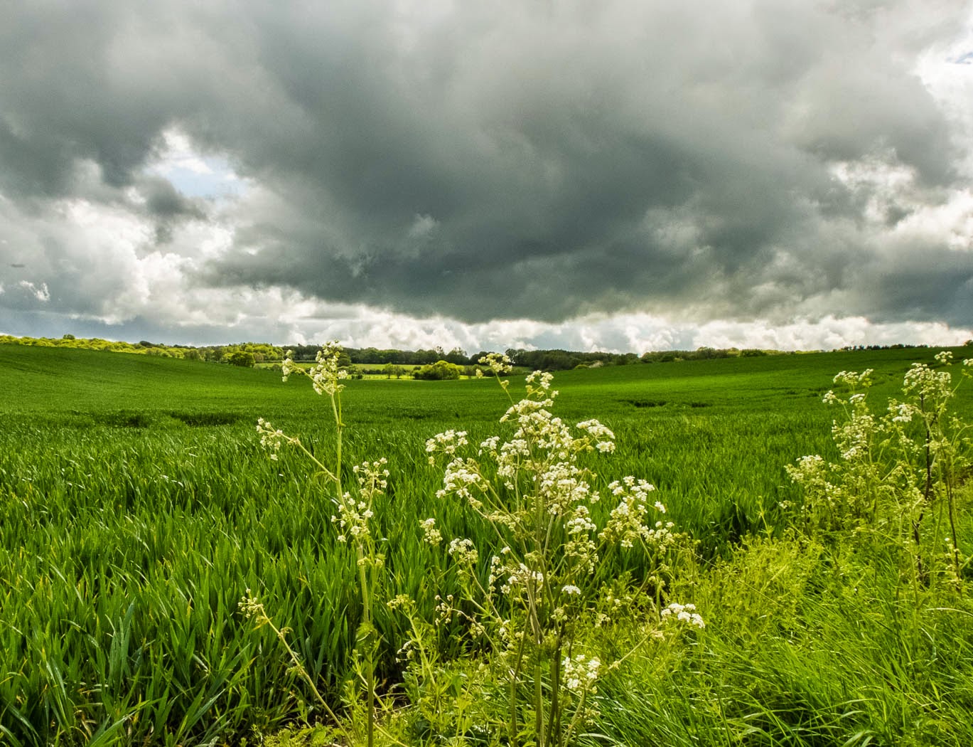 |
| Storm gathering. |
 |
| Approaching the next climb, to Checkendon. |
 |
| Lone Tree. |

 |
| Half-way up the steep road to Checkendon. |
 |
| The Beech Woods near Stoke Row. |
 |
| The Bluebells are in their prime. |


 |
| Leaving the Bluebells, with 3 miles to go. |
The cycling map is very useful, thanks for that! Pics good too (of course!) :)
ReplyDeleteThanks Kerto. Hope you get the chance to go out on your bike.
ReplyDelete